Coastal Resource Mapping provides a wide range of GIS mapping and geospatial consultancy services to industries across North America. Utilizing cutting-edge GIS software and technology, our GIS consulting team provides viable geospatial mapping solutions and data analysis to help organizations better understand their geographic information and make more informed decisions. Backed by over 20 years of experience, our knowledgeable and highly diverse team provides hassle-free and innovative solutions tailored to your geospatial needs.

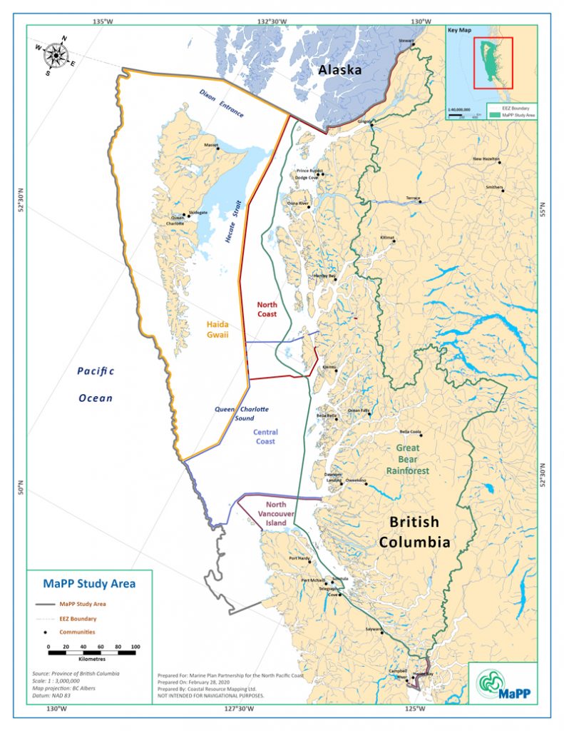
CRM provides GIS mapping services for industries of all types, including:
- Construction & Land Development
- Local & Municipal Governments
- Forestry / Wildfire Management
- Engineering / Surveying
- Agriculture
- Fisheries
- Mining
Our GIS mapping services encompass all aspects of GIS utilization:
- Operational level just-in-time map production
- Data organization and distribution
- Spatial analysis
- Web-based solutions, including support and training
- And more.
We integrate new technologies, conscientious project management, and a client-first approach to deliver tailored solutions that empower our clients and build trust-based, lasting relationships.


